
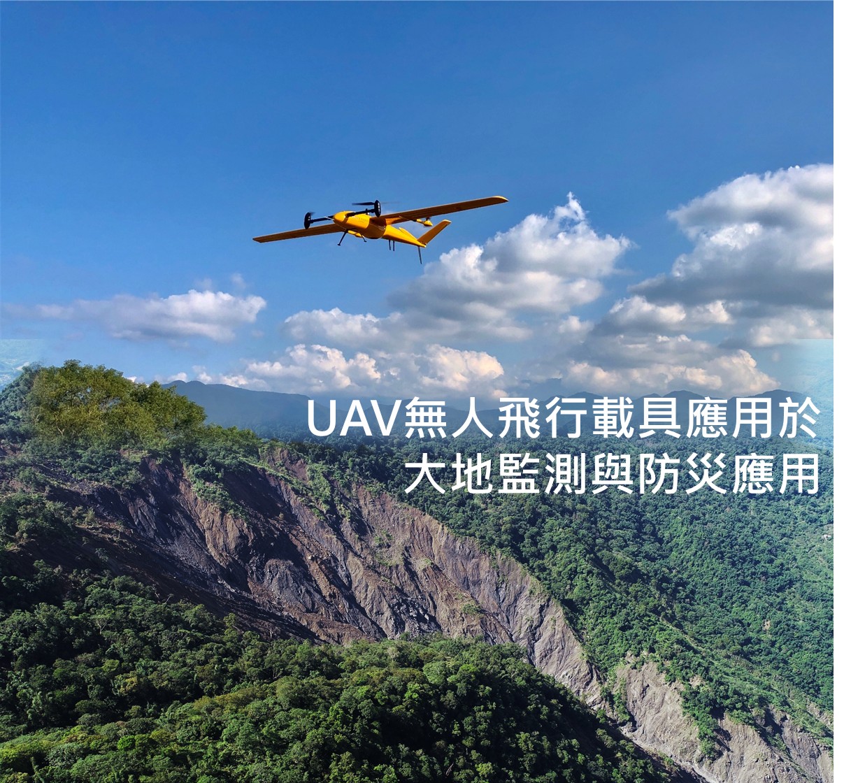
Unmanned aerial vehicles can capture real-time, clear, panoramic mid- and low-altitude photos of disaster areas. The use of aerial photography can help capture a clear bird’s-eye view of disasters and landslide disasters and clearly identify the scope of disasters, which makes up for the shortage of “seeing the trees but not the forest” in ground disaster exploration.

CLOSE

Unmanned aerial vehicles


- Add
No.302, University Rd., Puli, Nantou Hsien, Taiwan, 545 R.O.C - Tel049-2910960 #4121、4122
- Fax049-2918679
- Mailylyan@ncnu.edu.tw
unalin@ncnu.edu.tw
256 bit SSL Encryption
Recommend using Chrome, Firefox, Safari latest version of the browser.
Designed by MIRACLEWeb Design